
Last day of the trip, so I decided to take it easy: no ropes, no crag, just a walk. I went for the 10 km out-and-back version of the Los Calderones hike — starting in Chulilla village, running out to the car park at the Cherales climbing area, and then doubling back.
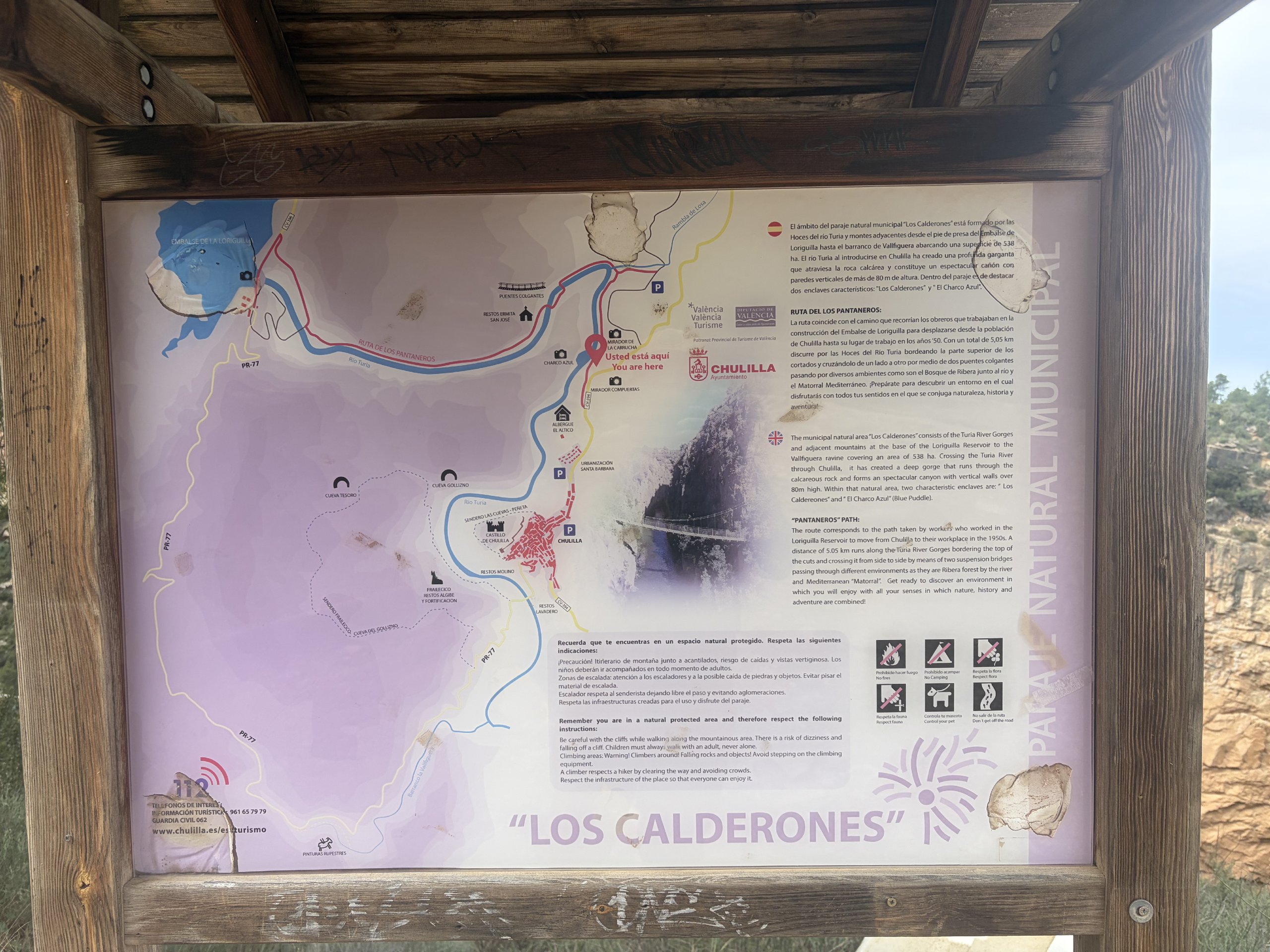
The route, and what’s along the way
- Start: the town hall’s official start is Plaza de la Baronía, then Calle Maestro Amblar out past the El Altico hostel to the signed path. The signed Ruta de los Pantaneros is listed by the council as 5.05 km.
- Distance: from the village to the far end of the gorge is roughly 10 km, which is the version I did. There is also a 16 km circular walk via the Loriguilla reservoir and the Vallfiguera ravine (allow 4–6 hours), and a short 2–3 km option if you park up near Los Calderones in the first place.
- Access: €1 per person per day, paid at the hut at the start. No booking needed, and residents go free (but it wasnt collected this time, maybe because of season?)
- Underfoot: steps and railings in places, but it is not a paved path — rated medium-to-hard, with some sure-footedness required.
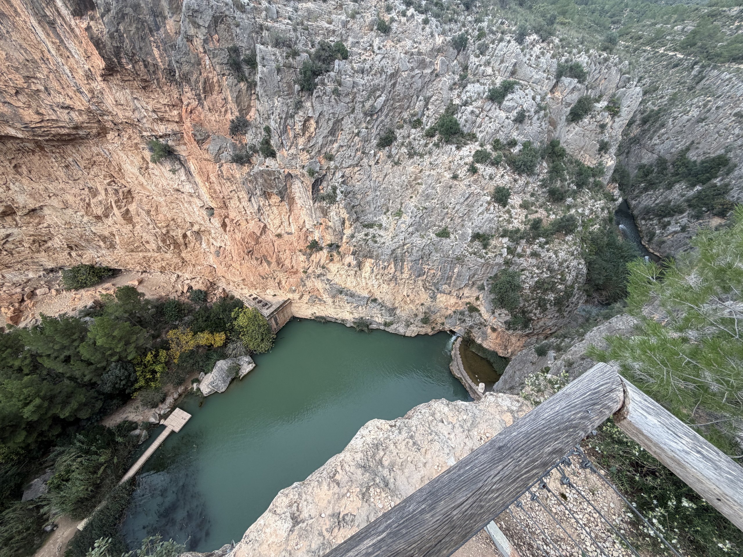
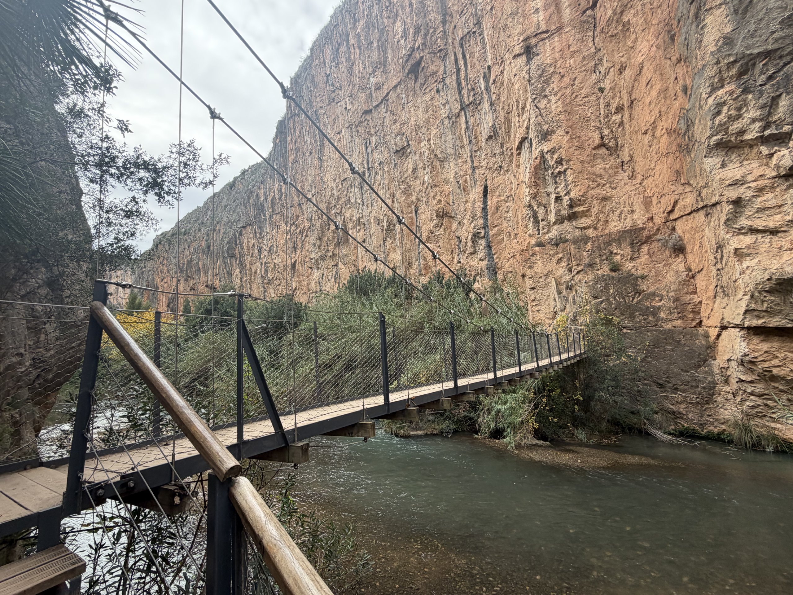
The highlights are the two suspension bridges over the Turia — the higher one sits about 15 m above the water and runs over 20 m long — and the canyon walls, which rise more than 80 m in places. On the way out you pass the Carrucha viewpoint over Charco Azul, the little waterfall where the Losa stream meets the Turia at Los Calderones, the remains of the old pantaneros’ hermitage, and a wooden walkway down to a quiet, north-facing stretch of climbing. There is a small weir further on, then the reservoir. The protected area is only 538 hectares, but it packs in riverside forest and Mediterranean scrub.
The path has a good story behind it: it follows the route walked by the workers building the Loriguilla dam in the 1950s. The original bridges were swept away in the flood of 1957; the ones you cross today were rebuilt in 2013.
I set off at 11am. The day was overcast, so there was no worrying about the midday heat, and by late November the temperatures are mild anyway. Just under three hours later I was back in the village with plenty of afternoon left.
Meanwhile, back at the crag
The others decided to do one more day of climbing, but quickly learned that gravity was set to high today and made it a half day. Hugh told me the area they chose, La Ceguera, had some of the more polished routes of the entire trip. Add that to the general fatigue after a week of climbing and they were all home before me.
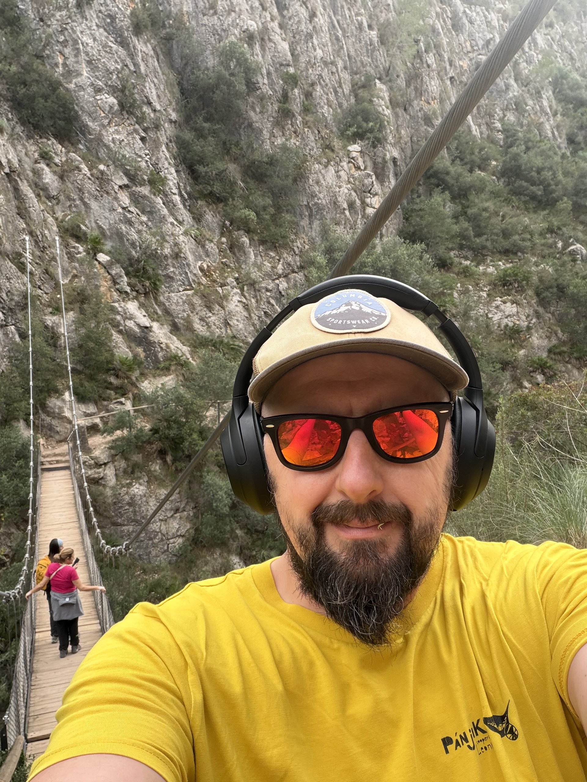
Ten kilometres at an easy pace was exactly the reset I needed after six days on the rock.
Back in the village
The afternoon was spent meeting various friends around the village. I had a beer with Anni and her friend, and later met some other Irish colleagues for dinner at the Climbers Bar.
That’s the trip
Overall the entire trip was great. The area is very handy — loads of easy sectors, but tons of hardcore stuff too. Flights are plentiful and the distance to the airport is short, which should make tomorrow straightforward: our 2:45pm flight will be easy to get to. I bought the guidebook while I was here, with the intention of coming back here in the near future.