A bit different schedule than usually today – instead packing up early for climbing we decided to take a day off and do some research on the Ghost River area.
It’s a very remote place- around 2h drive from Canmore. Details here: http://www.summitpost.org/south-ghost-climbs/291125
The Ghost was established in 1967 on the front range of the Canadian Rockies and consists of 15,317ha (60 square miles) of raw wilderness bordering Banff National Park to the east and north. Its mountains include Mounts Aylmer, Apparition, Oliver and Costigan. The Ghost Valley actually refers to a larger area that is more specifically located approximately 30kms north of Canmore along the eastern border of Banff National Park and east of the Palliser Mountain Range. The Ghost’s glacier carved valleys provide for steep water runoff creating some of the best waterfall ice climbing in Canada. Much of this terrain is considered less avalanche prone than most ice routes in Kananaskis and routes deeper into the national parks. Although not all the Ghost climbs are technically in The Ghost (many of the climbs are in Banff National Park), this whole area of provincial wilderness takes on that identity.
The Ghost Valley is discussed as the South Ghost and North Ghost relative to climbing. The South Ghost is divided into several different areas when discussing waterfall ice: Orient Point, Devil’s Gap,Planter’s Valley, Constellation Valley, Black Rock Mountain and Johnson Creek. The North Ghost includes all the climbs along both sides of the Ghost River. The “North Ghost” routes entail more of a 4×4 drive approach than the “South Ghost” routes.
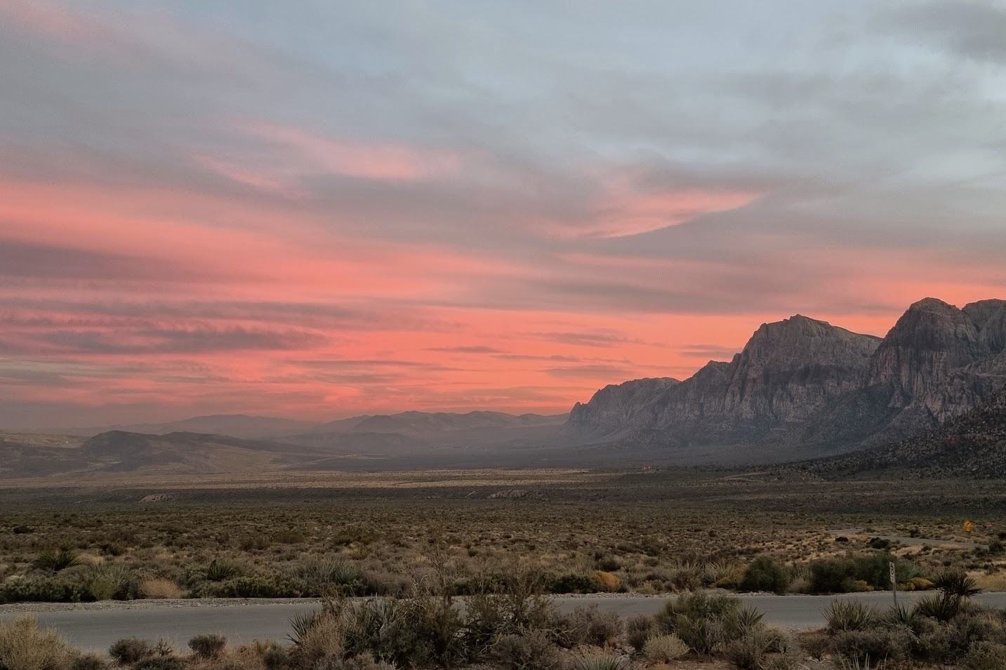
We’ve decided to focus on Devil’s Gap area of the South Ghost as it is the most accessible area – it still is around 2h driving – that requires 17km of gravel off-roading, very steep unpaved hill-climbing, as well as crossing dry river bed.
 |
| From Canada2016-Day05-RestDay-GhostScouting |
Our driver and Toyota did a good job getting us there safely. Some manual road cleaning was required though:
 |
| From Canada2016-Day05-RestDay-GhostScouting |
End of road – Banff National Park border. This is where you leave the car and hike couple of km (depending on the climb you choose). This is a seriously remote area with no services and possible bear and cougars encounters.
 |
| From Canada2016-Day05-RestDay-GhostScouting |
Here we see Wicked Wanda – Wi4+ – 2 pitch 50m route we’ll come back to do tomorrow. Zoomed in photo on the link under the picture.
 |
| From Canada2016-Day05-RestDay-GhostScouting |
Generally it was a good day out – and we are coming back tomorrow there to climb so stay tuned for climb reports shortly!
 |
| From Canada2016-Day05-RestDay-GhostScouting |
Leave a Reply